RaDAR Rally, November 2026: Seven Stops on Foot at Weeks Bay
November 2026
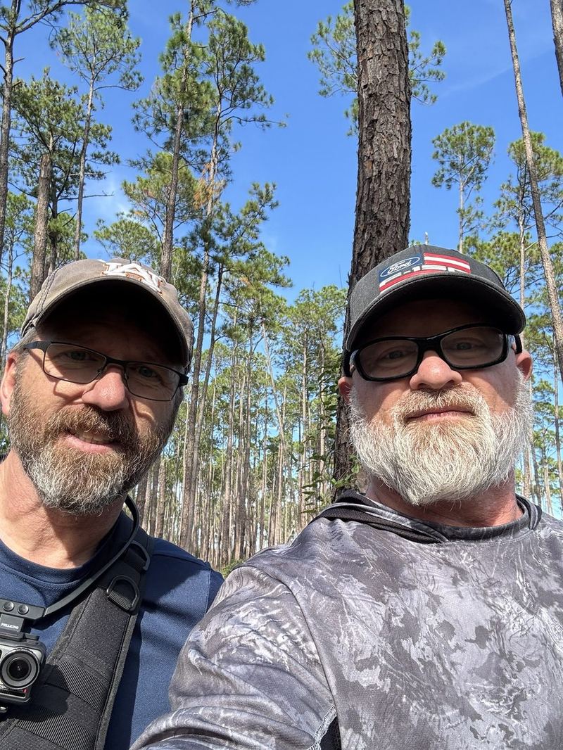
On Saturday, November 7, KQ4TPD and I walked the November RaDAR Rally at Weeks Bay Reserve National Conservation Area, POTA US-3711. It was our second rally together. The format is simple: set up, make five contacts, pack up, walk at least 1 km, and do it again for four hours.
A condensed video of the rally covers all seven stops (8:26):
Summary
- Operators: AE4JC, with KQ4TPD
- Day: Saturday, November 7, 2026
- Venue: Weeks Bay Reserve National Conservation Area, Alabama (POTA US-3711)
- Time: 17:51 to 21:40 UTC (first to last contact)
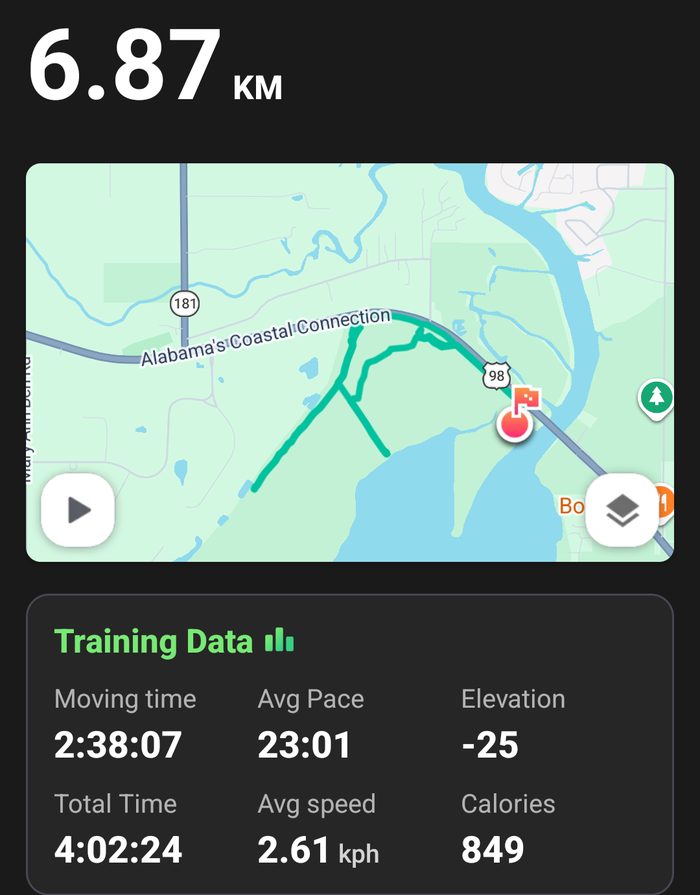
- Conveyance: On foot, nearly 7 km in all, including the walk back to the truck after time ran out
- Radios: Xiegu G90 for HF, and KQ4TPD’s handheld for the 2 m FM contact
- Antenna: KQ4TPD’s 17-foot whip on a ground spike, with a single 33-foot counterpoise
- Bands and modes: 20 m and 15 m SSB, 2 m FM simplex
- QRP: No. We tried QRP at 10 W, but propagation was poor early on, so we went to 20 W during the first stop.
- Contacts logged: 39, including 14 park-to-park across 11 parks (Ham2K’s stats screen counts 12 of them)
- Deployments: 7
Why we weren’t QRP
We registered as a QRP station and started at 10 W. The bands didn’t cooperate. At stop 1, our first two contacts were both local: WB4MBV in Daphne on 2 m FM, and K4LLL in Silverhill on 20 m. Then 20 minutes went by before anyone farther away came back.
Every deployment multiplies the whole score, so spending that long at each stop would have cost us more than QRP could earn back. We went to 20 W partway through stop 1 and stayed there.
The log shows how slow the start was. Stops 1 and 2 each took 26 minutes to make five contacts, and stop 2 was already at 20 W, so power alone wasn’t the problem. Once the bands opened up, stops 3 through 7 each made their first five in 3 to 7 minutes, at the same 20 W.
For context, space weather that afternoon (NOAA, times UTC):
- M1.4 solar flare, 17:11 to 17:24
- M1.9 solar flare, 18:21 to 18:56
- G1 minor geomagnetic storm, planetary K-index 5.33, 18:00 to 21:00
- NOAA storm alert issued at 19:45
An M1 flare is an R1 minor radio blackout on NOAA’s scale, which weakens HF on the sunlit side of the Earth.
Sources: NOAA Space Weather Prediction Center data, saved on November 8: flare list, daily geomagnetic indices, planetary K-index, alerts.
Score
The rally scores 3 points for a RaDAR-to-RaDAR contact, 2 for a contact with a POTA or SOTA activator, and 1 for anyone else. (Rules.) Only the first five contacts at each deployment count. Total QSO points are multiplied by the number of deployments, and bonus points are added.
- RaDAR-to-RaDAR contacts: 0
- POTA/SOTA contacts (scored): 12
- Other contacts (scored): 23
- QSO points: 47
- Deployments: 7
- Bonus: 18 (six walked transitions at 3 points each)
- Total: 47 × 7 + 18 = 347
Stop by stop
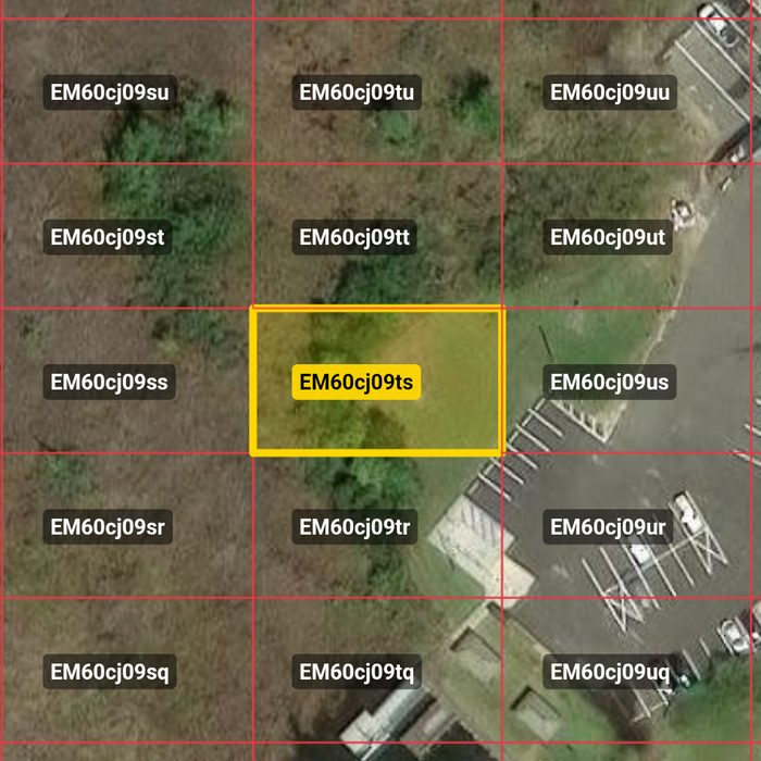
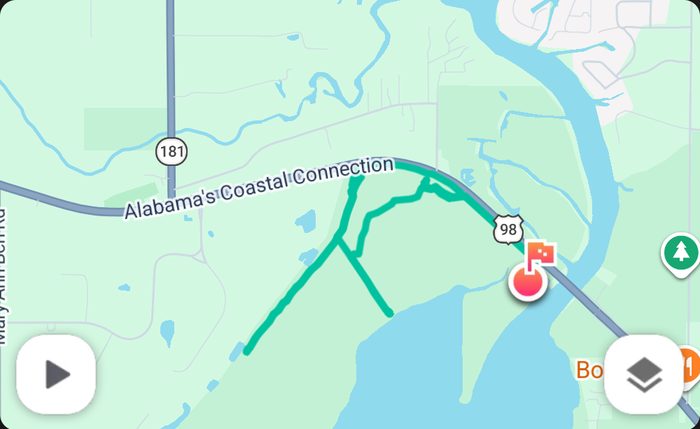
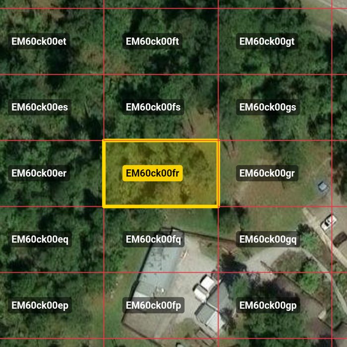
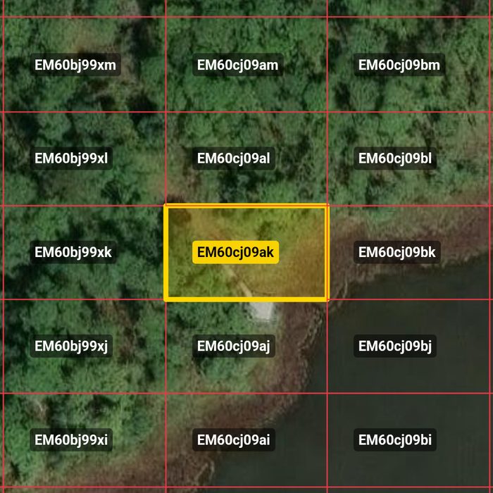
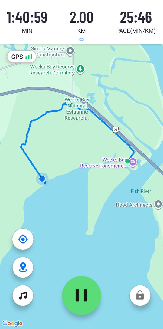
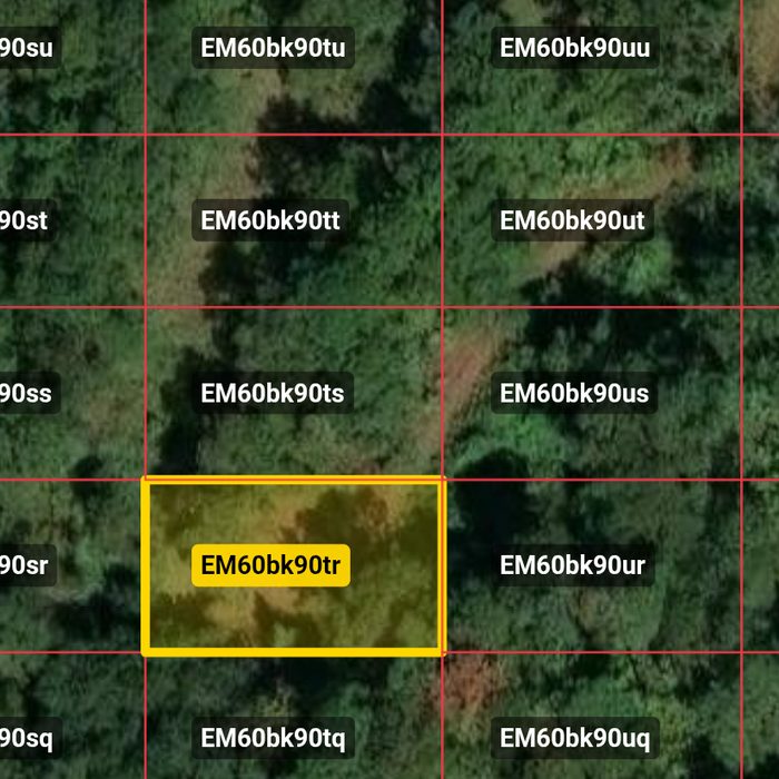
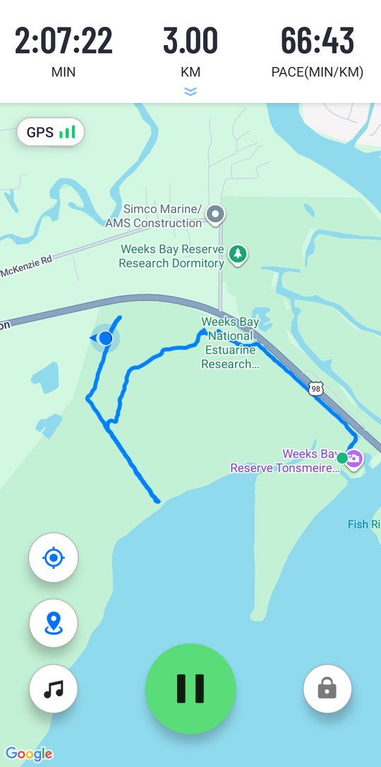
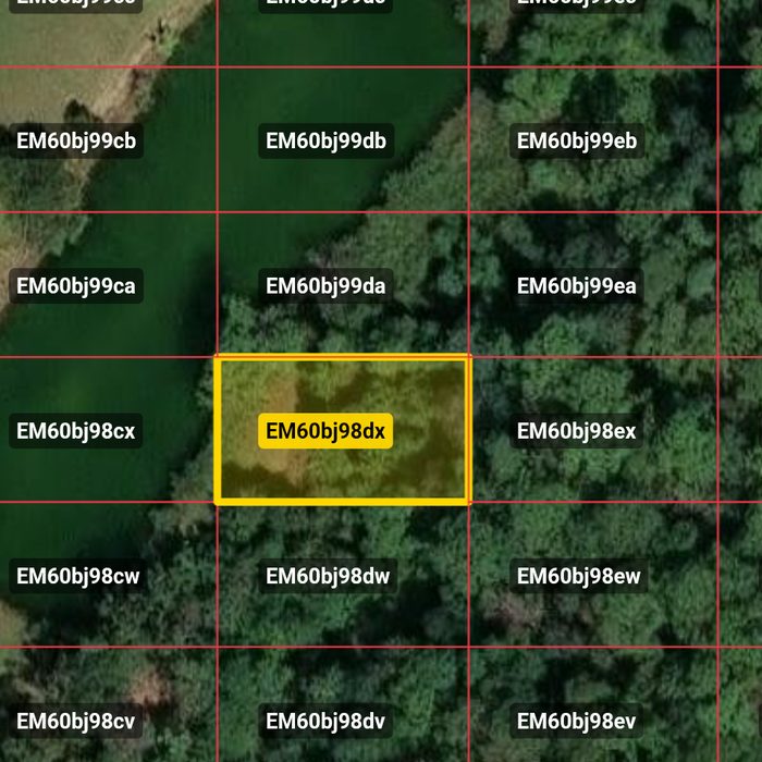
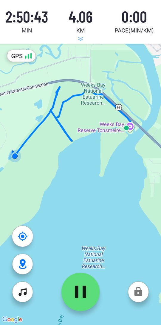
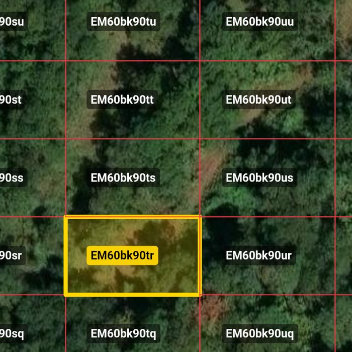
Times are UTC. “P2P” marks a park-to-park contact. Contacts after the fifth at a stop are listed but don’t score. Each walk between stops was about 1 km, the rally minimum, measured by phone GPS. Each stop shows its grid square on the left and the tracker on the right; tap either to enlarge. Grid maps: GridMap by W5ISP, imagery © Esri.
Stop 1: Grid EM60cj09
17:51 to 18:17. Starting point.
| Time | Call | Band | Points |
|---|---|---|---|
| 17:51 | WB4MBV | 2 m FM | 1 |
| 17:53 | K4LLL | 20 m | 1 |
| 18:13 | W9GPB | 20 m | 1 |
| 18:15 | K3TEE | 20 m | 1 |
| 18:17 | K9DWP | 20 m | 1 |
5 points. This is the slow start described above: two local contacts, then 20 minutes of calling before we went from 10 W to 20 W.
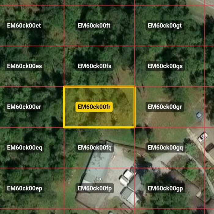
Stop 2: Grid EM60ck00
18:48 to 19:14. Walked distance: 1 km.
| Time | Call | Band | Points |
|---|---|---|---|
| 18:48 | K4CAE | 20 m | 1 |
| 19:02 | KC1QDZ | 15 m | 2 (P2P US-2870) |
| 19:05 | W1XZZ | 15 m | 2 (P2P US-0891) |
| 19:12 | KJ4ND | 20 m | 2 (P2P US-3779) |
| 19:14 | KB9VA | 20 m | 2 (P2P US-4483) |
9 points. Two New England park activators came through on 15 meters.
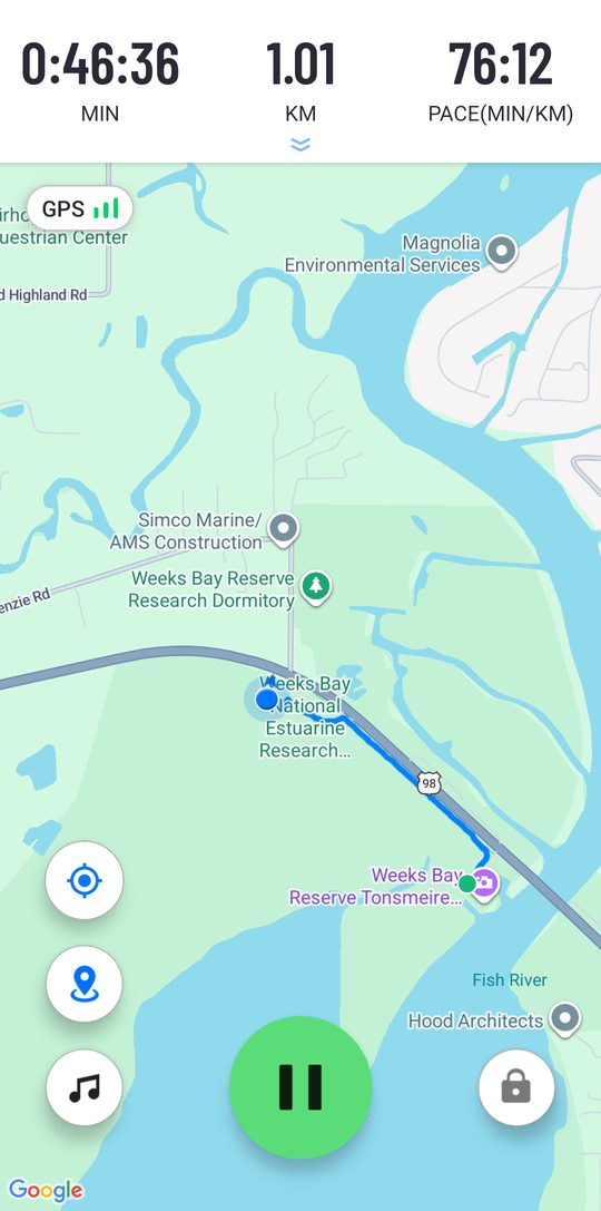
Walking from stop 2 to stop 3:
Stop 3: Grid EM60cj09 (a different spot in the same square as stop 1)
19:39 to 19:42. Walked distance: 1 km.
| Time | Call | Band | Points |
|---|---|---|---|
| 19:39 | KC3TMC | 20 m | 1 |
| 19:40 | KC5PWT | 20 m | 1 |
| 19:40 | KA0AZS | 20 m | 1 |
| 19:42 | KE5AQD | 20 m | 2 (P2P US-3038) |
| 19:42 | AF0FC | 20 m | 1 |
6 points. Five contacts in three minutes, the fastest stop of the day.
Stop 4: Grid EM60bk90
20:02 to 20:09. Walked distance: 1 km.
| Time | Call | Band | Points |
|---|---|---|---|
| 20:02 | KM6TWI | 20 m | 1 |
| 20:06 | KG5ZQ | 20 m | 1 |
| 20:07 | AA7T | 20 m | 1 |
| 20:08 | NU6R | 20 m | 1 |
| 20:09 | W8ZBR | 20 m | 1 |
5 points.
Stop 5: Grid EM60bj98
20:30 to 20:38. Walked distance: 1.1 km.
| Time | Call | Band | Points |
|---|---|---|---|
| 20:30 | W1TTZ | 20 m | 2 (P2P US-1677) |
| 20:31 | KB1MCT | 20 m | 2 (P2P US-1677) |
| 20:35 | KJ5MND | 20 m | 2 (P2P US-2712) |
| 20:36 | KB2YEW | 20 m | 1 |
| 20:37 | KD9WAI | 20 m | 2 (P2P US-4169) |
| 20:37 | KE9FKL | 20 m | not scored (P2P US-4169) |
| 20:38 | KD9VFA | 20 m | not scored (P2P US-4169) |
9 points. Seven contacts, six of them park-to-park. The US-4169 station had three operators to give us.
On the air at stop 5:
Stop 6: Grid EM60bk90 (same spot as stop 4)
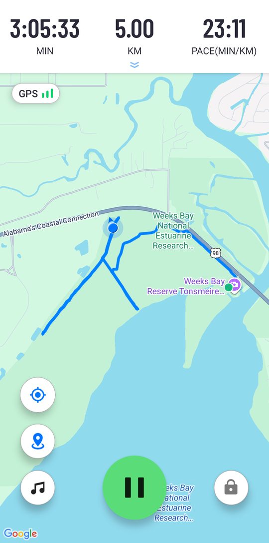
21:03 to 21:11. Walked distance: 1 km.
| Time | Call | Band | Points |
|---|---|---|---|
| 21:03 | KI4UDA | 20 m | 2 (P2P US-1309) |
| 21:04 | KO4FAW | 20 m | 1 |
| 21:05 | K8ELS | 20 m | 2 (P2P US-1800) |
| 21:08 | N5TXL | 20 m | 1 |
| 21:09 | WA2MCR | 20 m | 1 |
| 21:11 | N8DGE | 20 m | not scored |
7 points. The rules allow reusing a deployment location, so we walked back down the trail to stop 4’s spot.
Stop 7: Grid EM60ck00 (same spot as stop 2)
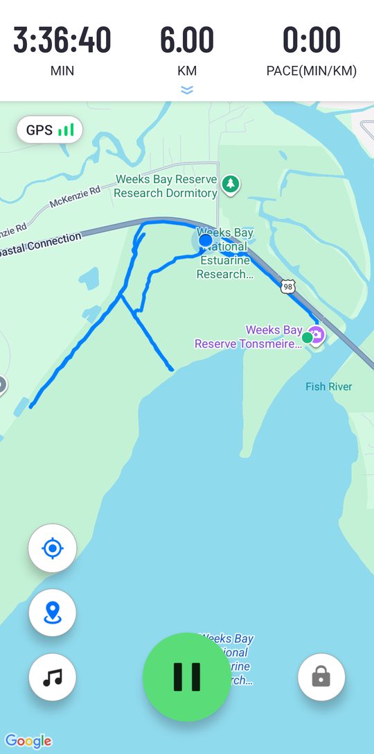
21:32 to 21:40. Walked distance: 1 km.
| Time | Call | Band | Points |
|---|---|---|---|
| 21:32 | W4MTO | 20 m | 1 |
| 21:33 | KB6MMF | 20 m | 2 (P2P US-1036) |
| 21:34 | KI4DOB | 20 m | 1 |
| 21:36 | AF0DB | 20 m | 1 |
| 21:39 | KR4MES | 20 m | 1 |
| 21:40 | AJ9MC | 20 m | not scored |
6 points. Stop 2’s spot is only about 340 m from stop 6 in a straight line, so we backtracked up the trail and along US 98 to make the full kilometer.
The whole walk
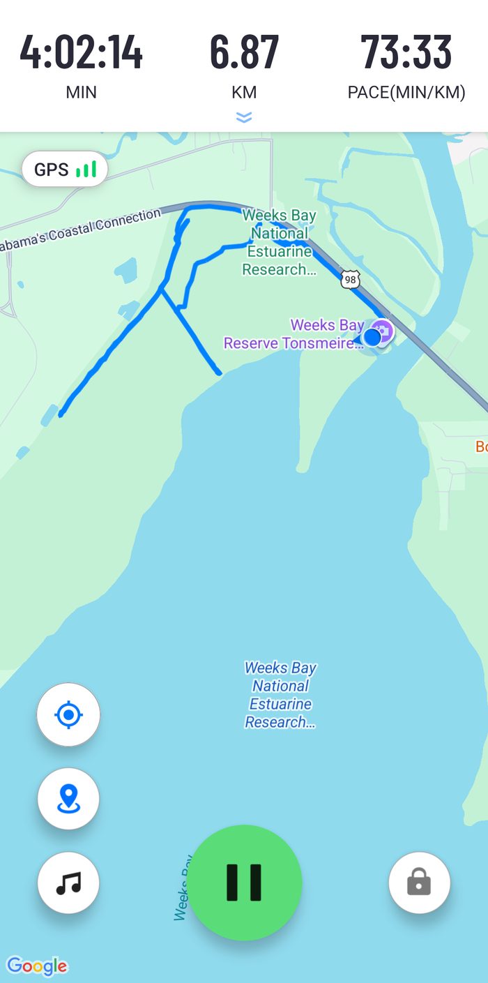
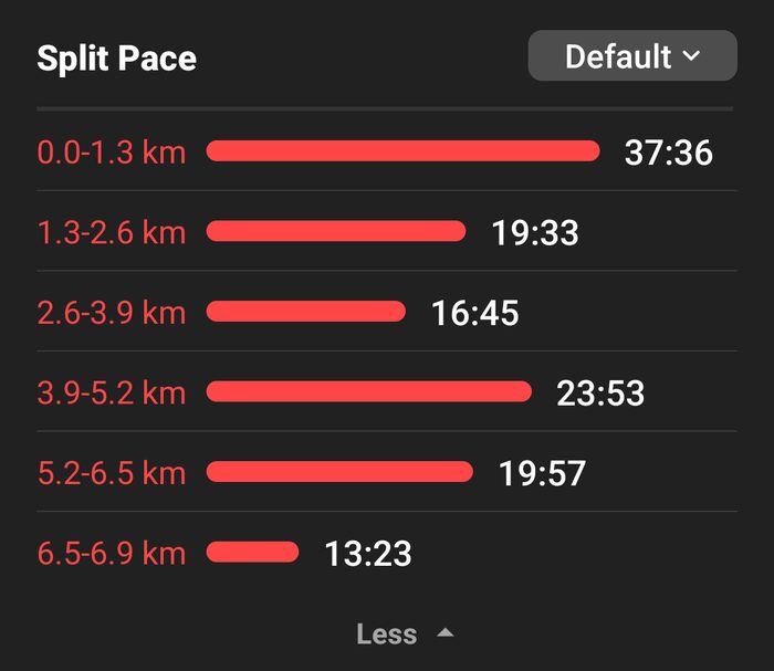
Where the signals went
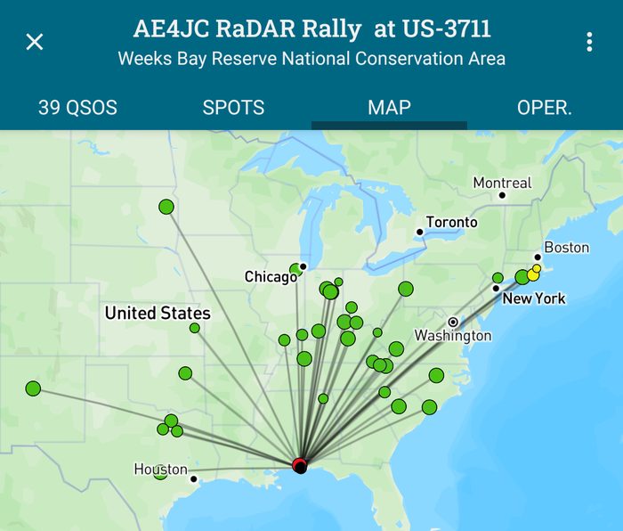
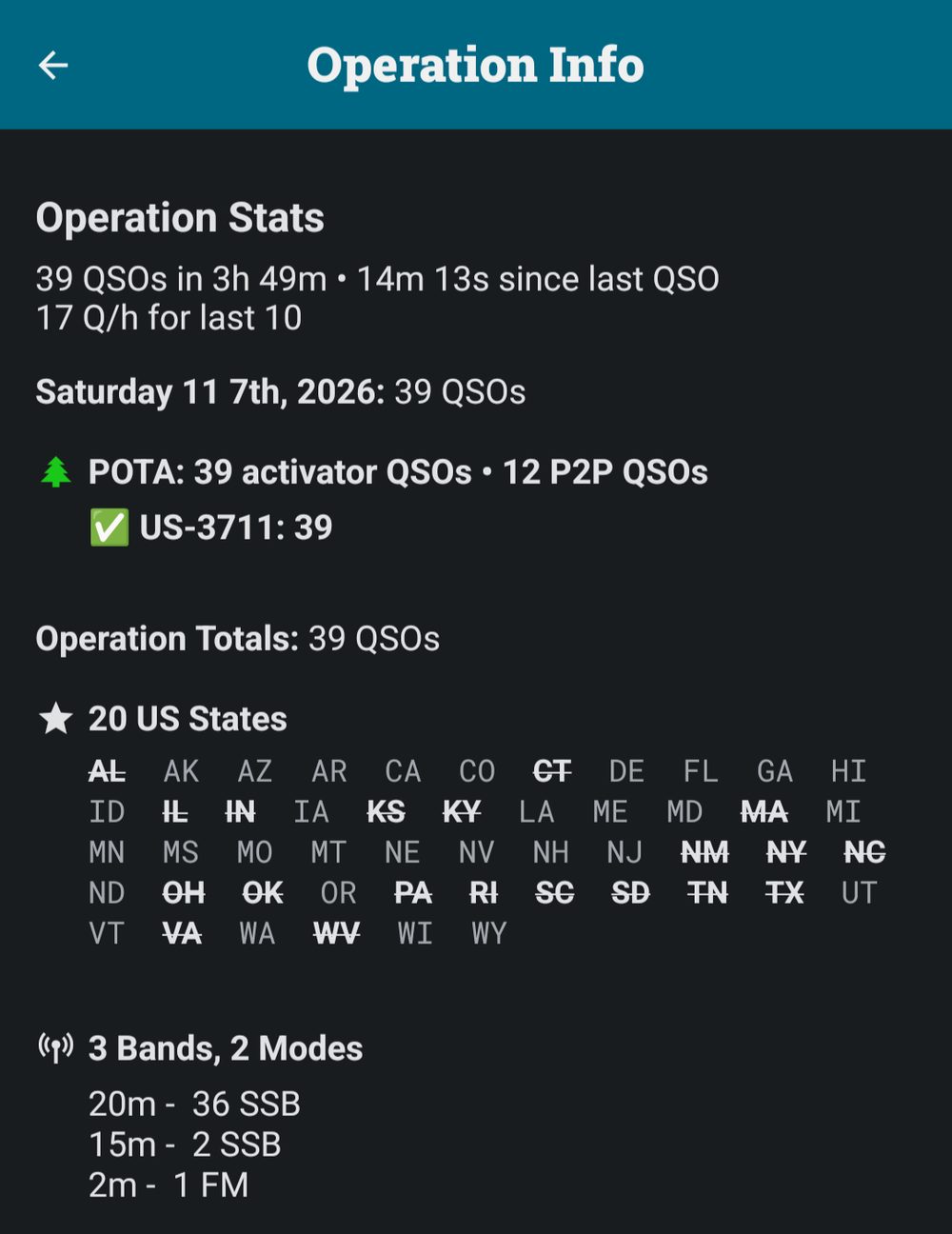
Twenty states on 20 W from a pack on our backs. Thanks to every hunter and park activator who answered, and to KQ4TPD for the company, the photo and the videos.